
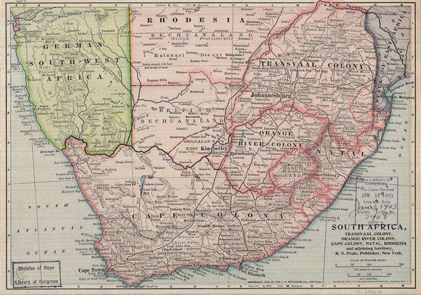
This map shows the location of the Boer Republics (Transvaal and Orange Free State) relative to the British colonies in South Africa. The first phase of the conflict took place on the border regions, when the Boers laid siege to the British towns of Ladysmith and Kimberley, and then, during the Second Phase, moved into the Boer Republics as the British invaded and ultimately subdued Boer resistance.
These contemporary maps shed light on the terrain and conditions faced by the combatants in the Boer War. Towns were separated by vast distances, with few roads or railroads.
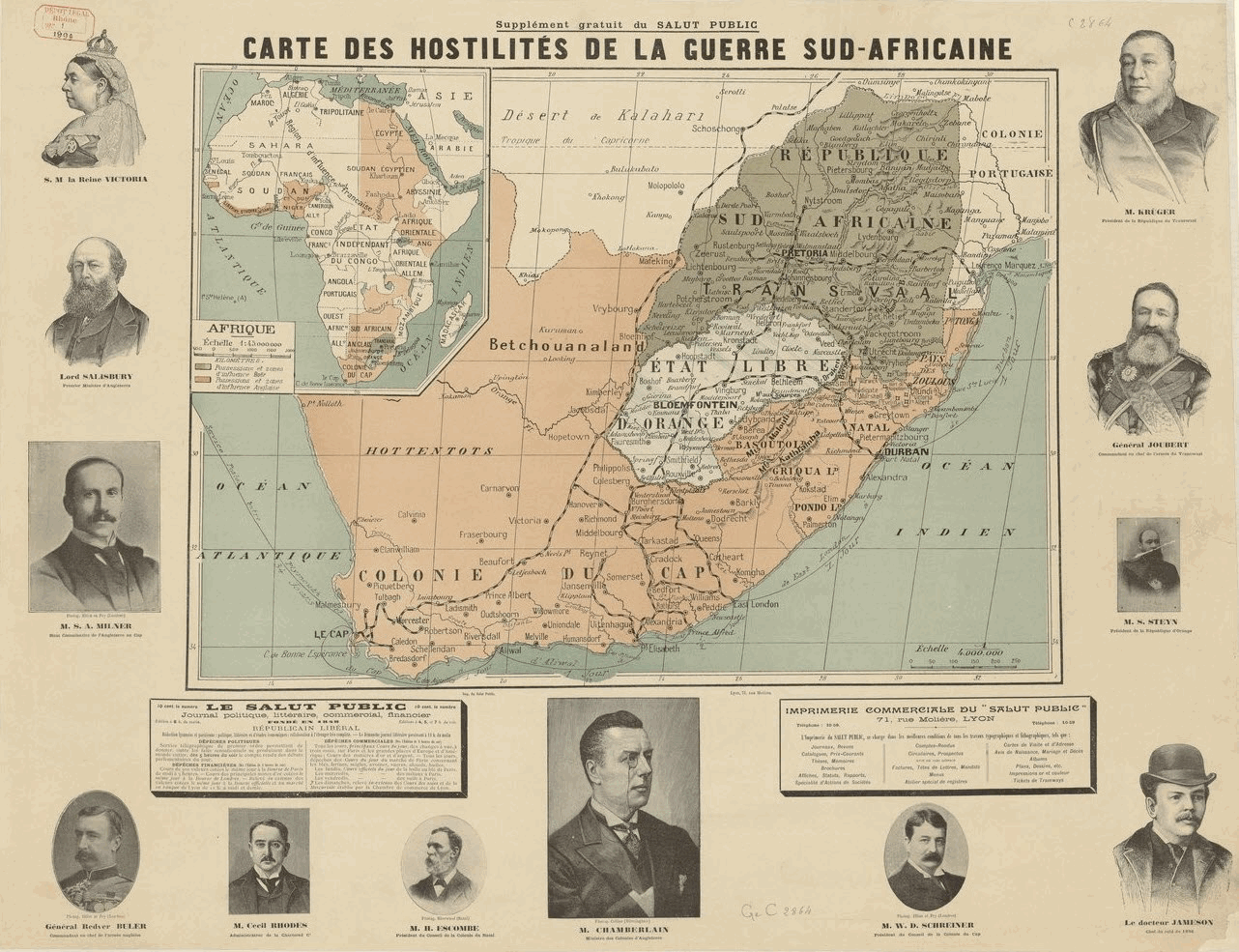
A political map of the South African War theater, with illustrations of the rival leaders and commanders.
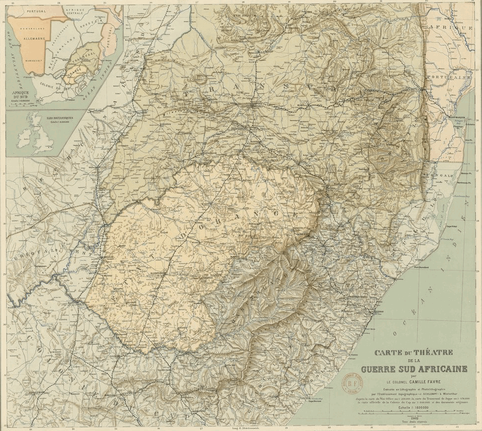
A terrain map of the Boer War theater, showing heights and river valleys..